Oh wow… What a weekend!
I really needed to get out of the house. Seriously. And thankfully, the weather was an unbelievable 70 degrees.
Blossom found a new hike for us to check out and because there were a couple of warnings about the dangerous rock outcroppings, she decided to just take me. YAY!
The trail is called the Lover’s Leap Trail in Hot Springs, NC. Go to Silvermine Road and drive under the French Broad River Bridge. Follow the road until you reach a very obvious parking lot on the right. You’ll walk back down Silvermine Road and begin your hike at the footbridge that crosses a little stream just before reaching the river.
The trail is clearly marked because this is the world-famous Appalachian Trail.
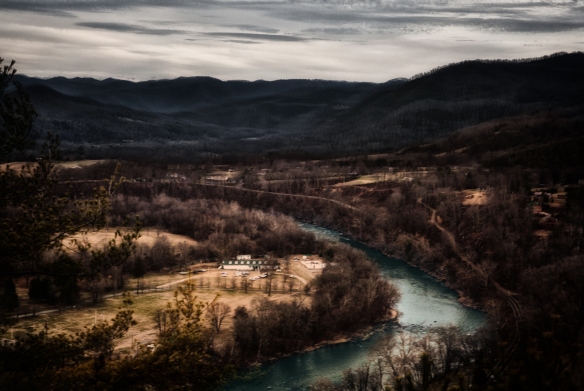
The first leg of the trail runs beside the French Broad river, (the fifth oldest river in the world and one of the few that flows north.)
We were told to walk upstream until we found the trail… It took us a minute to remember whether upstream was the direction from which the water was coming or the direction to which the water was moving. Once, that was decided, finding the trail was easy.
I will say that directions we were given to the trail could have been a tad more clear, so, I hope these directions are a bit more helpful. First, we didn’t even know there was a parking lot, so we parked beside the river. That’s why we didn’t know where to go.
Once we started, I ran and ran. There were several dogs off leash and we were all well-behaved and friendly. Blossom paused to take a few pictures cause that’s how she rolls.
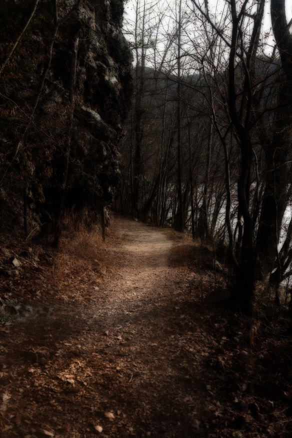
This is one fairly early on in the trail.
After a short walk, the Appalachian Trail cuts to the left and up, up, up… is all I have to say about that.
Then switchbacks and more up, up, up.
The trail is beautiful through thick, lush rhododendron and that smell that I love… earthy-musky-woody-mossy-some-critter-just-passed-through-here-and-went-that-a-way.
I ran uphill. I ran downhill. I ran sideways.
After we made the turn to follow the Appalachian trail, I was the only dog around. Yep — just me and Blossom. I love that.
When we reached the rock outcroppings, she was visibly worried about me and told me to sit. Of course, I did. I understand that if I’m a good dog, she brings me along for more really cool adventures.
Then we started descending — and let me tell you, that is a lot more treacherous than you might imagine, especially when the trail is covered in leaves. So, after a few slip-and-slides, we were making decent time and then there was a choice to continue in a fairly straight line or switchback and descend some more. There was a sign, but it had fallen over and we just weren’t sure, so, we decided that we needed to descend.
After a few nervous moments, we were delighted to find out that we were right!! The parking lot was a precious site to see.
All in all, the trail took about 1.5 hours, mainly because Blossom takes so many photographs. She can shoot a cloud for 30 minutes if no one is there to prod her.
While not an extremely difficult hike, this is definitely not an easy hike, I’m in pretty good shape and it knocked me out. The uphill is intense.


What a beautiful boy!
*blushing* awww shucks… thanks.
Love the last doggie shot. Wanted to say, it’s nice to meet you and thanks for reading Dog Tails 🙂
Very nice to meet you too! I look forward to reading more!
Nice pics…your tales are quite nice Fetch ! 🙂
ruff ruff! wag wag!
ruff ruff! wag wag!
ohhh… you meant tale, not tail. I do have a nice tail though. 🙂
ohhh… you meant tale, not tail. I do have a nice tail though. 🙂
Ofcourse you do 🙂